Technical & Analytical Services
F&W Forestry Services offers cost effective access to enterprise level technical and information support capabilities for any size landowner or property manager. From analysis of cashflows and harvest optimizations to custom mobile applications and UAV services, F&W can be your technical support team.
Our Technical & Analytical Forestry Services
Forestry Data Management
It’s impossible to make informed forestry decisions without accurate data. Our team works with you to organize and present the best information to assist you in achieving your goals. Our forestry data management services include:
- Customized GIS to work with your data, regions, and operating systems
- Forestland information to provide up-to-date property information
- Enterprise database to store tree-level inventory and allow recombination of data
- Permanent storage of historical spatial data to provide valuable analytical information
Forest Cashflow Projections & Optimization
F&W’s technical team manages all aspects of financial reporting including income statements, balance sheets, and statement of cash flows. We provide customized projections and recommendations for optimization.

Forest Operation Technology
Our foresters use advanced technologies to assist in timber harvest forecasting, property surveillance, and more. We use:
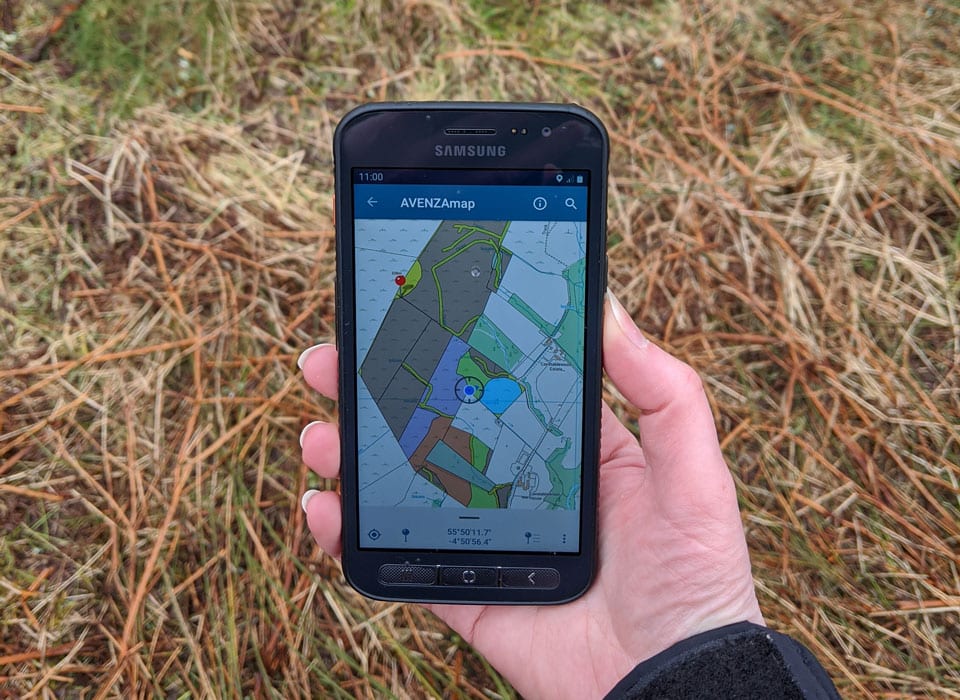
- Custom mobile applications for data collection and inspections
- Dashboards to see project status and preliminary results in near real-time
- Surveillance to ensure the security of your timber and property
- Business intelligence to make sense of your data

Spatial Data Management
F&W Forestry Services uses the latest technology to improve how we gather and report data. We use GIS analysis and integrate data points into various management platforms to ensure you receive accurate, intuitive, and actionable information.
This service includes:
- Incorporation of multiple client data formats
- Data validation and topology
- Integration into Cengea and other management platforms

Forest Inventory & Mapping
F&W Forestry Services provides forest data collection, inventory, and mapping to support our client’s goals. You can discover more about our forest inventory and mapping services here.

UAV Services
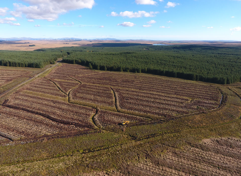
F&W Forestry uses UAV technologies to assist in timber harvest forecasting, property surveillance, and land management.
Our foresters use:
- UAV to create high-resolution georeferenced property images
- Custom mobile applications for data collection and land inspections
- Intuitive dashboards to view project status and preliminary results in near real-time
- Advanced surveillance to ensure the security of your timber and property

Software as a Service
F&W Forestry provides a customized Software-as-a-Service (SaaS) Enterprise GIS to work with your data, regions, and way of operating for seamless operation analysis.


